Guard Map
Define the Guard (maps)
Guard maps are defined in the Design Site window.
The Edit Site toolbar contains all of the tools needed to develop a map
![]()
Edit Site Toolbar
 | The Map Lock button is used to either lock the map and disable editing and changing or setting map definitions, or unlock to enable editing the graphic elements on the map. |
 | The Level button inserts a floor element on your map. You can name this element to differentiate it from other map elements. |
 | The Large Building button enables placing a large multi-story building element on your map. |
 | The Medium Building button enables placing a medium-size multi-story building element on your map. |
 | The Small Building button enables placing a small multi-story building element on your map. |
 | The Import Picture enables importing a picture of your organization’s building. |
Begin by creating the relevant buildings.
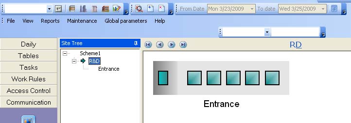
Adding Buildings
Next, select a building and create all of the floors in that building. You can import a drawing of the floor plan
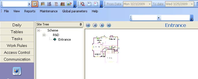
Floor Plan in the Design Site Window
In this window, you can unlock the Floor Plan and enlarge the view on screen.
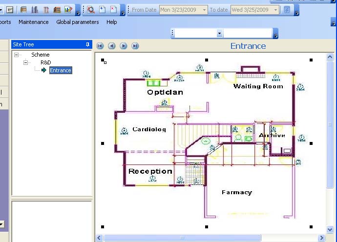
Floor Plan (Enlarged View)
Once unlocked, add and remove doors, controllers, terminals, etc. to correspond to the physical setup. In a multibuilding site you can import a street map and place the buildings on the map.
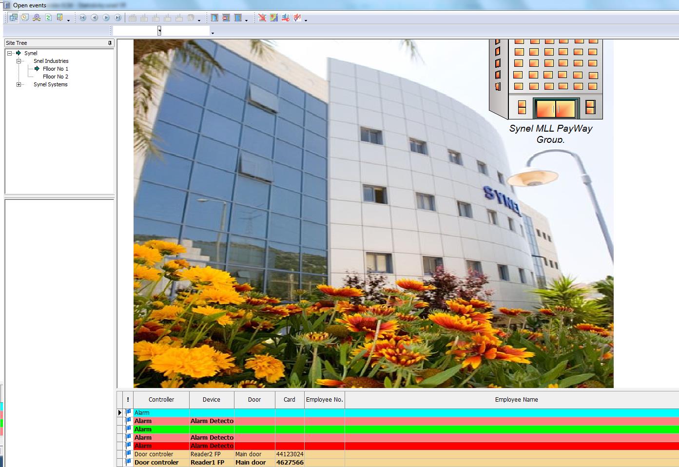
Guard main screen
 +44 208 900 9991
 +01 480-374-7770


